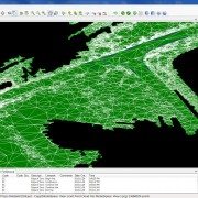
Leica Cyclone II Topo 2.0 Early Look at New Find Terrain Feature
David Langley, Applications Engineer at Leica Geosystems, was kind enough to share a video tutorial of a useful new feature coming in the next release of Cyclone II Topo – version 2.0. In the video below, David demonstrates the software’s ability to easily filter through terrestrial laser scan data to locate and isolate the ground surface. This feature looks to be a great survey industry solution for creating a DTM/TIN from point cloud data by automatically thinning the hardtop surfaces while keeping breaklines and changes in elevation very dense. Using LandXML to transfer the resulting surface to Autodesk Civil3D, the boundaries can also be retained for better control over the final surface.
Leica Geosystems expects to release Cyclone II Topo 2.0 by mid-January 2011. We will be sure to give it a thorough review once we get our hands on it. Watch David’s tutorial below:
Thanks, David for taking the time to create this video and for sharing it with us!


