

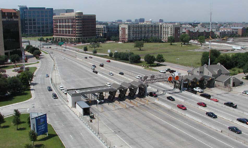
Gathering highly accurate, detailed survey data for improvements to existing roadways can be hazardous and expensive. Traditional surveying does not always provide the detail needed for roadway improvement projects and can be dangerous in areas with heavy traffic. Keeping field personnel safe while obtaining accurate as-built data using traditional surveying methods often requires lane closures that impede daily operations. Terrestrial and Mobile laser scanning technologies have proven to be an accurate, safe, and cost-effective alternative.
The development of laser measurement technology has improved the workflow and efficiency of surveying methods used for decades by enabling the capture of survey data at the speed of light. Using 3D imaging technologies in conjunction with proven workflows and procedures, SCANable offers experienced real-world training and support services in cost-effective topographic surveys of highways, tollways, urban arterial roadways, runways, bridges, and elevated structures. Given the added value of acquiring significantly more detailed data in less time without impacting traffic flow or interfering with daily operations proves to be a valuable solution for today’s designer.
On a typical project, detailed three-dimensional (3D) data is remotely captured with dense point cloud spacing throughout the entire project. Each data point has a 3D coordinate value relative to the desired coordinate system – when supplemented with control monuments tied using traditional surveying methods. This dense “point cloud” data is then referenced directly in AutoCAD or Microstation (or other automated data extraction software packages such as Terrasolid, TopoDOT, or Virtual Geomatics) allowing for technicians to easily create the necessary as-built drawings. Detailed digital terrain models (DTM) representing a very accurate depiction of the actual roadway can now also be easily created using familiar software and procedures. Beyond typical topographic data, information such as the location of pavement failures, cracks, areas of stress and possible ponding, and aerial utilities within and beyond the project limits are also easily identified. SCANable has real-world experience using these cutting-edge technologies to collect very precise deformation measurements for monitoring surface deviations.
 SCANable’s extensive surveying experience allows us to look beyond the current objectives and utilize point cloud data to help our clients become stronger by aligning their assets and operational practices with their strategic initiatives. In the past, it was not economically possible to capture this level of detail, but SCANable has repeatedly proven the benefits of this service to the civil engineering, transportation and aviation industries.
Ground-based terrestrial mobile and static laser scanning are proven, safe, accurate and inexpensive technologies that can be used to supplement aerial light detection and ranging (LiDAR), low-altitude mapping photography (LAMP), or traditional surveying data.
Our ground-based terrestrial laser-scanning training and support services provide customers with the resources they need, when they need them.
Clients
- Construction Companies
- Federal and State Agencies
- Planners
- Structural Engineers
- Toll Authorities
- Transportation Engineers
Typical Deliverables:
- 2D/3D Planimetrics
- 3D Models
- Digital Terrain Models
- Lane Striping Configuration Plans
- Orthorectified Imagery
- Sections/Elevations/Profiles
- Site Plans
- Structural Plans
- Surface Deviation Reports
- Vertical/Horizontal Clearances