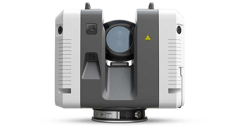
The precise way to scan…
Highly accurate, flexible and future-orientated
The Leica RTC360 3D laser scanner collects 432 Megapixels (MP) of HDR images. These source images are designed with considerable overlap to ensure good blending performance. The source images have a native resolution designed to match the highest scan setting at 3 mm @ 10 metres. When considered as a panorama, this is equivalent to a 200 MP panorama, that is, 20480 x 10240 pixels, or equivalently a 5120 (5k) cube map. Leica Cyclone REGISTER 360 and Cyclone REGISTER both can be configured to deliver this resolution.
The benefits of the Leica RTC360:
- Highly portable, highly automated, intuitive and designed for maximum productivity, the RTC360 solution efficiently combines the RTC360 a high-performance 3D laser scanner, Leica Cyclone FIELD 360 mobile-device app for edge computing for automatically registering scans in real-time, and Leica Cyclone REGISTER 360 office software to integrate your 3D model seamlessly into your workflow.
- Capture scans, including enriching High-Dynamic Range (HDR) imagery, in less than two minutes.
- Automatically record your moves from station to station to pre-register your scans in the field without manual intervention.
- Augment your data capture with information tags illustrating the opportunities for better planning, reflect site reality, and boost your teams’ situational awareness
- Directly publish your captured data from Cyclone FIELD 360 to Leica TruView Cloud to quickly exchange project information prior to import and registration
Rent the Leica Geosystems RTC360 Phase-based 3D Laser Scanner today! Now available for long-term rentals of 3 months and longer. Contact us for more info or reserve your rental online today!


