Bringing Worlds to Life with Precision 3D and 4D Capture Technologies
Los Angeles | Houston | New York | Atlanta
MOBILE CYBERSCANNING
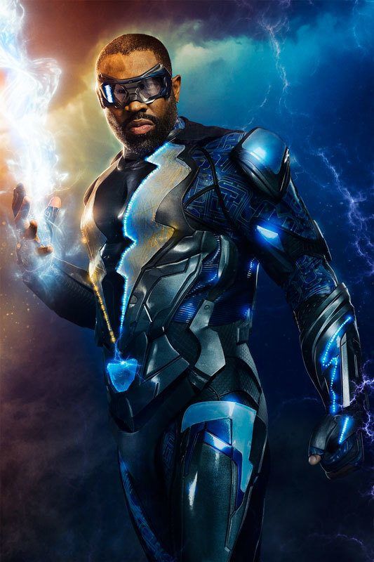
Our Mobile Photogrammetry Studios are ultra-portable and allow us to mobilize to anywhere in the country and be ready to immediately capture 3D CyberScans of talent for the creation of hyper-realistic Digital Doubles. We are the fastest in the industry, ensuring talent is back on set in less than 60 seconds in most applications.
SET/LOCATION SCANNING
With set-experienced teams located in Los Angeles, New York, Austin, and Atlanta, and the very latest 3D scanning gear including LiDAR, Structured-Light, and Aerial Drone Photogrammetry, we offer the most cutting-edge tech in 3D scanning. Our team, the best in the VFX industry, delivers hyper-realistic digital assets to enhance your productions.
AERIAL PHOTOGRAMMETRY
Aerial photogrammetry has revolutionized the world of visual effects, opening up limitless creative possibilities. SCANable harnesses the power of high-resolution aerial photography to recreate large environments in stunning 3D detail and realism.
RETOPOLOGY & MODELING
Our team of artists utilize specialized workflows for transforming dense 3d scan data into render-ready virtual assets including complex texturing and subsurface scatter map creation for hyper-realistic CG digital doubles and virtual sets.

